
Written by South China Morning Post (Morning Studio)
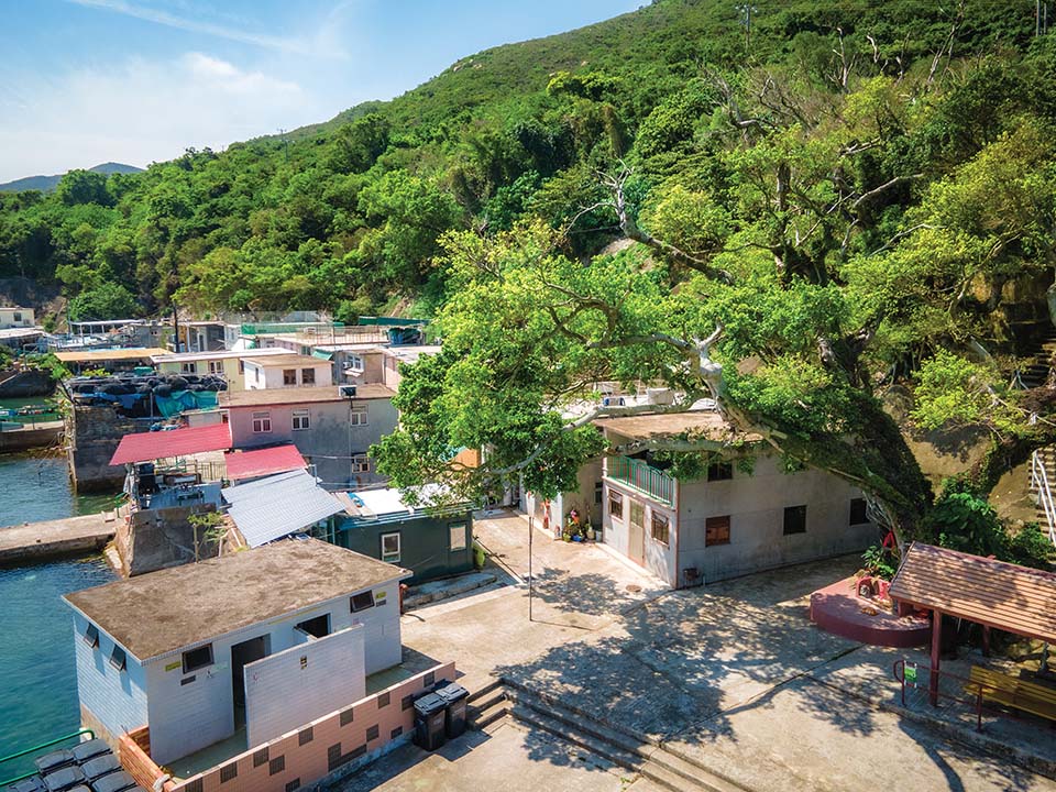
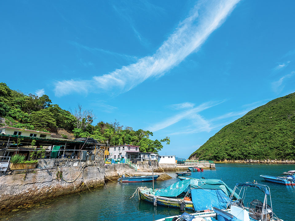
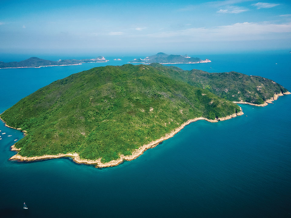
Most people heading to the figure-of-eight-shaped Kau Sai Chau — the largest island off the Sai Kung Peninsula and considered a Hong Kong UNESCO Global Geopark geosite — visit only the top half to play golf at Hong Kong’s sole public golf course. Yet on its southernmost tip, out of sight over gently rolling hills, is a rarely seen fishing hamlet, Kau Sai Fishermen Village — the island’s only settlement, which seems little changed over time. Hire a sampan to this picturesque village, home to barely a dozen families and a historic temple, separated by a narrow strait from Jin Island.

Refuel
The village store and also the last-but-one house as you turn left from Kau Sai Village Pier, sells drinks from an outdoor fridge and offers a selection of ‘fishing village dishes’ chalked up on a blackboard.
-
Kau Sai Fishermen Village
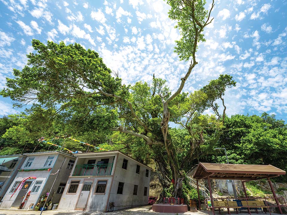
A 40-minute sampan trip, passing enticing beaches and caves, brings you to the village and its single row of seafront two-storey houses. Living rooms open directly onto the pathway, and you can see families sitting outside preparing and eating lunch. An elderly fisherman wearing a traditional rattan hat sits cleaning lobster cages, as fishing and diving equipment hang drying in the breeze. It’s hard to imagine now, but more than 300 people lived here in the 1950s, many of them on boats — according to tradition — anchored in the bay. A memorial plaque pays tribute to British social anthropologist Barbara Ward, who lived here while studying the fishing community’s culture. She helped the fishermen get government permission to set up homes on the land in the 1950s, which led to the founding of Kau Sai Fishermen Village. Over the decades since then, most residents have moved to the city or overseas.
 Just in case the village store is closed, bring enough drinking water for your time on the island, plus sun protection, including a hat and sunscreen. Remember to follow guidelines for visiting the Geopark: do not wander off the recommended sightseeing routes, don’t hike near cliffs to avoid injuries from falling rocks, and respect the geopark communities and their heritage. Visit the official website to learn more.
Get me there
-
Hung Shing Temple
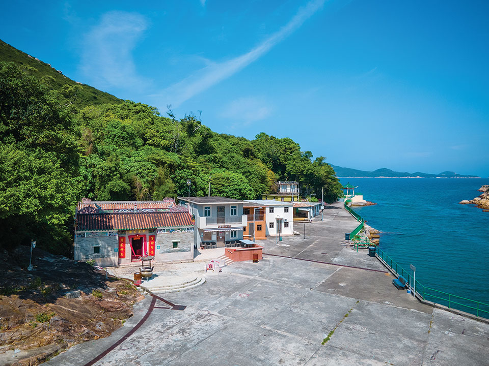
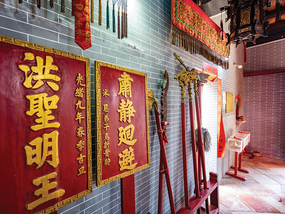
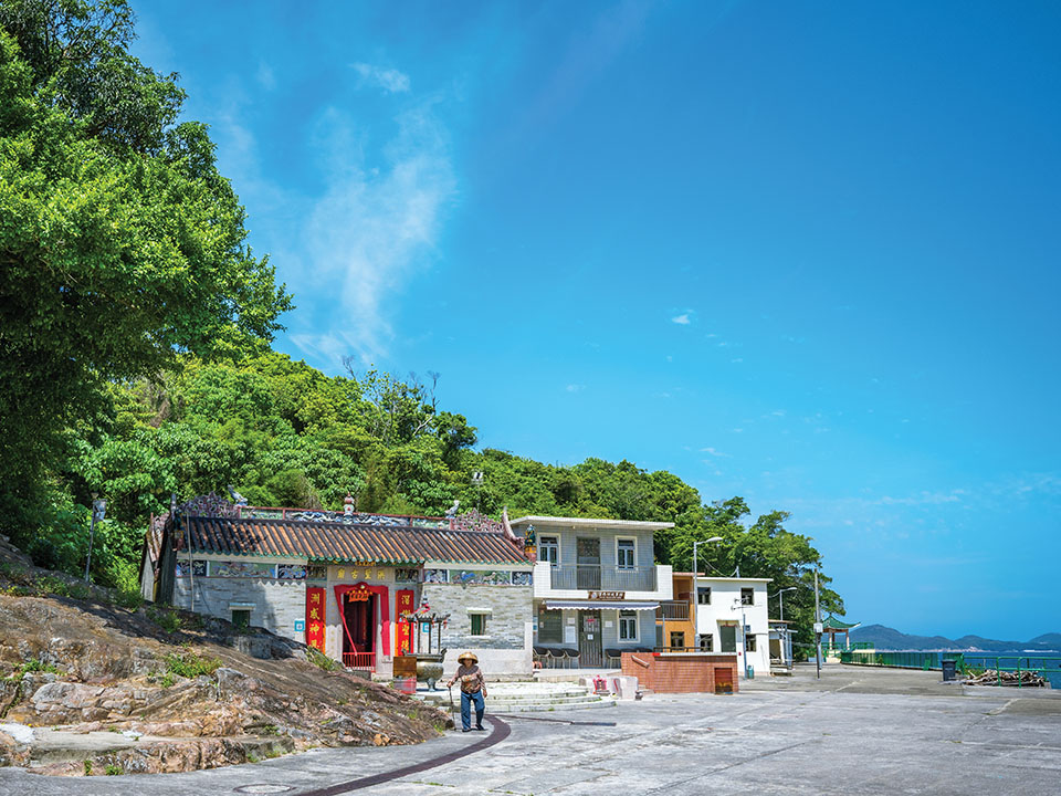
The village’s elaborately decorated temple was built more than 130 years ago to honour Hung Shing, a deity believed to protect fishermen and sea traders, who is also known as the Chinese ‘God of the South Sea’. Official records give no exact date, but say it was first renovated in 1889. The grey brick building, with images of two dragons running along the roof and a line of brightly coloured pictorial tiles on the front wall, once included a classroom for villagers’ children. Later restoration of the temple, now a declared monument, saw its heritage conservation recognised in 2000 by UNESCO. The large space in front of the temple is used to stage the four-day-long birthday celebrations for Hung Shing — attended by thousands of people — featuring lion and dragon dancing and a Chinese opera performance during the second lunar month each year.
Get me there
-
Kau Sai Village Story Room
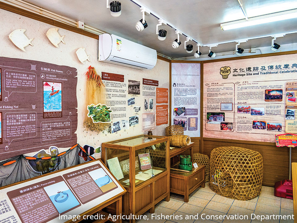
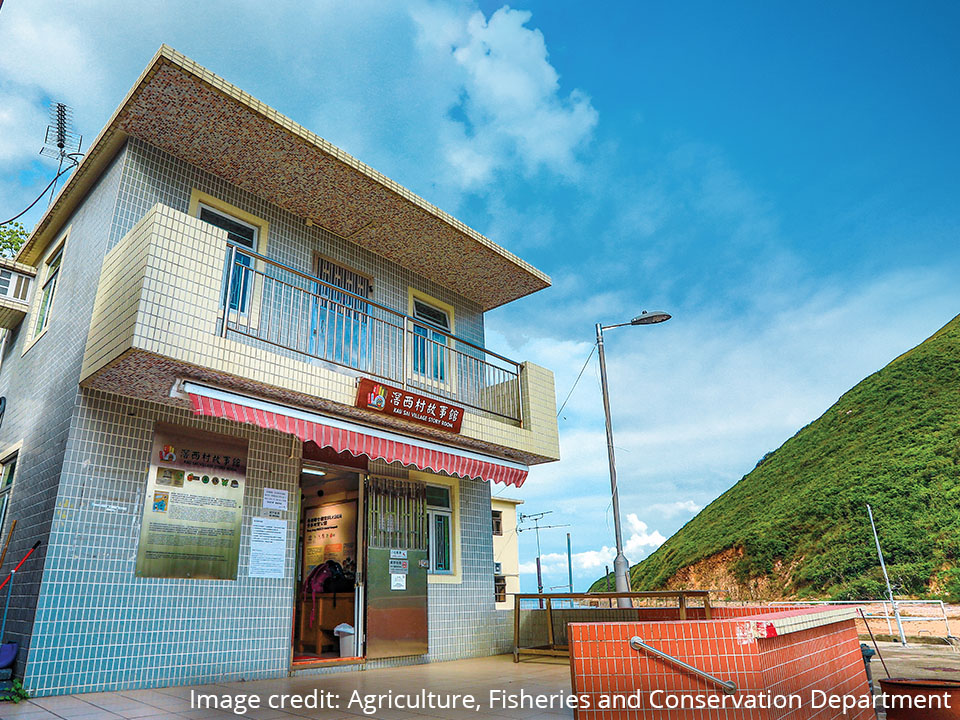
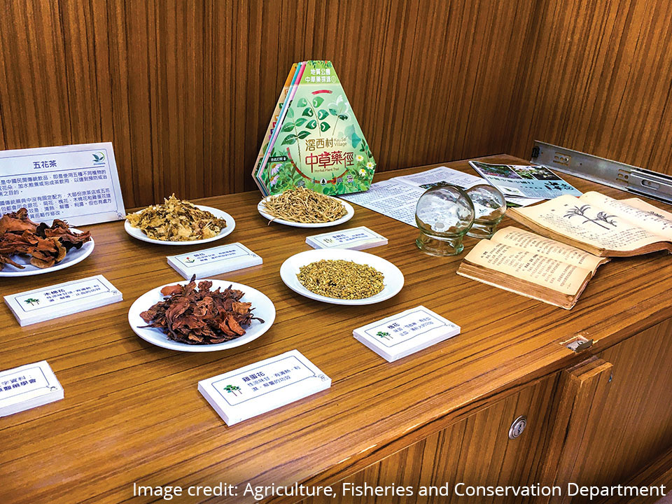
Next door to the temple, the ground floor of the village office has been turned into an exhibition space, to display historic fishing implements, other cultural relics and old photographs of Kau Sai Village, as well as a range of local herbs used in Hakka culture for traditional medicine. The story room, run by villagers with the support of the Lions Nature Education Foundation and Hong Kong Geopark, is open from 10am to 4pm on Saturdays, Sundays and public holidays (but close on the first three days of the Lunar New Year, and one month from the 20th of the first month in lunar year).
Get me there
-
Scallop Rock
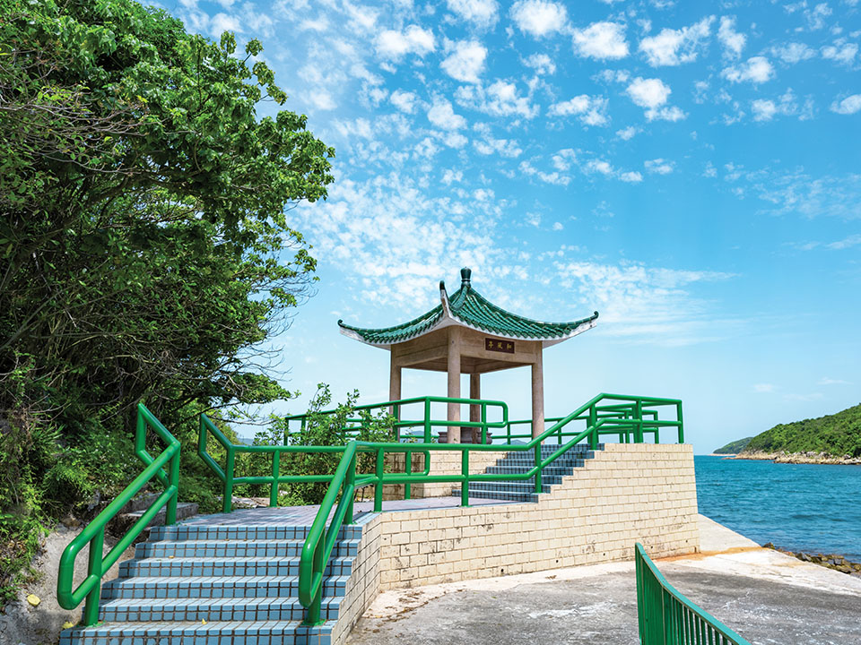
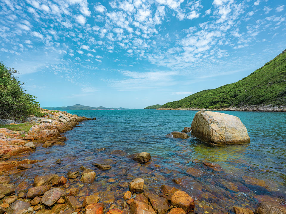
Walk past the story room to the viewing pavilion to see Scallop Rock — which looks like a scallop you would find on your dinner plate — only two metres wide. This rock fragment, eroded by waves over centuries, broke off one of the many hexagonal rock columns found in Sai Kung Volcanic Rock Region, in Hong Kong UNESCO Global Geopark. The columns, created as dense volcanic ash and lava cooled following eruptions 140 million years ago, are estimated to cover an area of more than 100 sq km.
The pavilion also offers a view across the narrow gap known as Kau Sai Strait towards uninhabited Jin Island, also called Tiu Chung Chau — Chinese for ‘hanging bell island’ — because of the spectacular bell-shaped sea arch at its southern end. Hikers visit the island, covered with impressive fragmented hexagonal rock formations, for the stunning scenery, but to get there must hire a sampan or join a recommended Geopark guided tour.Get me there
-
Herbal Plant Trail
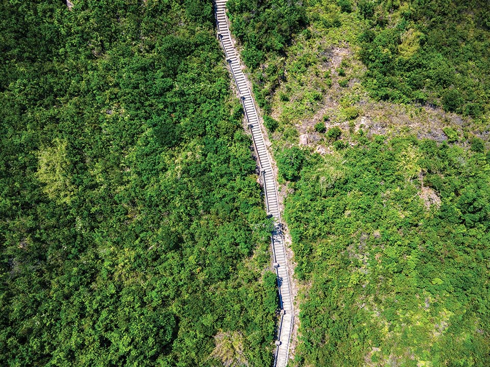
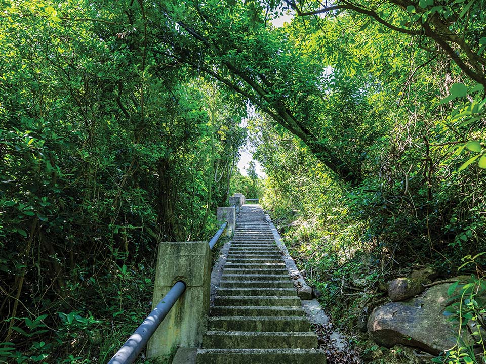
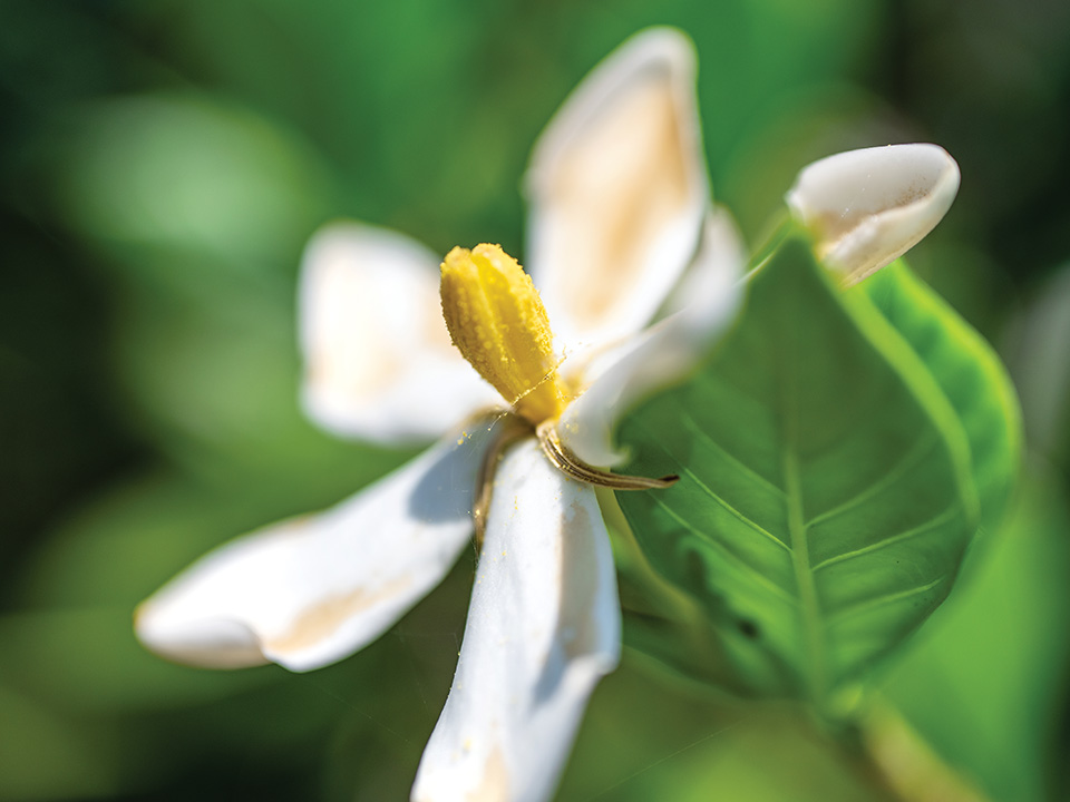
Find the green sign near the temple and climb the steps, past the shaded clearing where the village school used to stand, and you’re on a hill trail lined by some of the flowering plants used by villagers for traditional herbal medicine, such as tea or medicinal soup. You can pick up a herbal trail leaflet in the story room, which will help you to identify some of the plants. As you rise higher, you leave the forest behind, and the path offers stunning open views of the islands, bays and rocky shores of Port Shelter.
Get me there
-
Dining Option
Sai Kung Town Centre
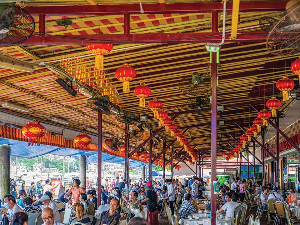
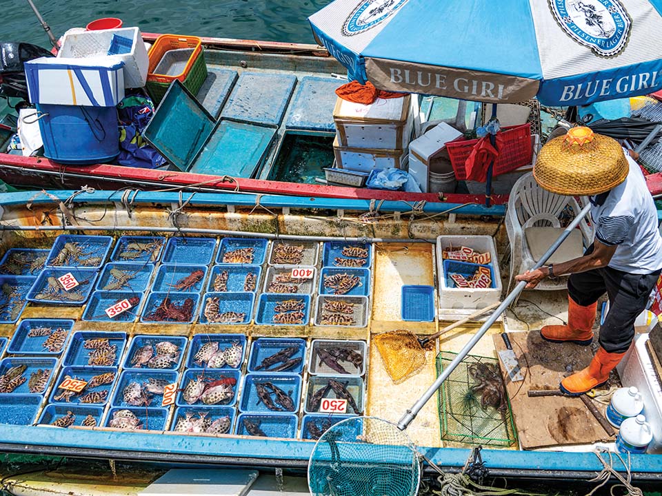
Sai Kung is known for its many waterfront seafood restaurants, which are particularly popular, serving treats such as steamed prawns with chilli soy sauce and clams with black beans and garlic. But there is also a great selection of trendy restaurants, cafes and cha chaan tengs along the promenade and lively side streets, which serve a vast range of popular and Eastern cuisines, including pizzas, pasta, Thai curries, English fish and chips and Turkish kebabs.
Get me there

Transport
Getting to Kau Sai Fisherman Village:
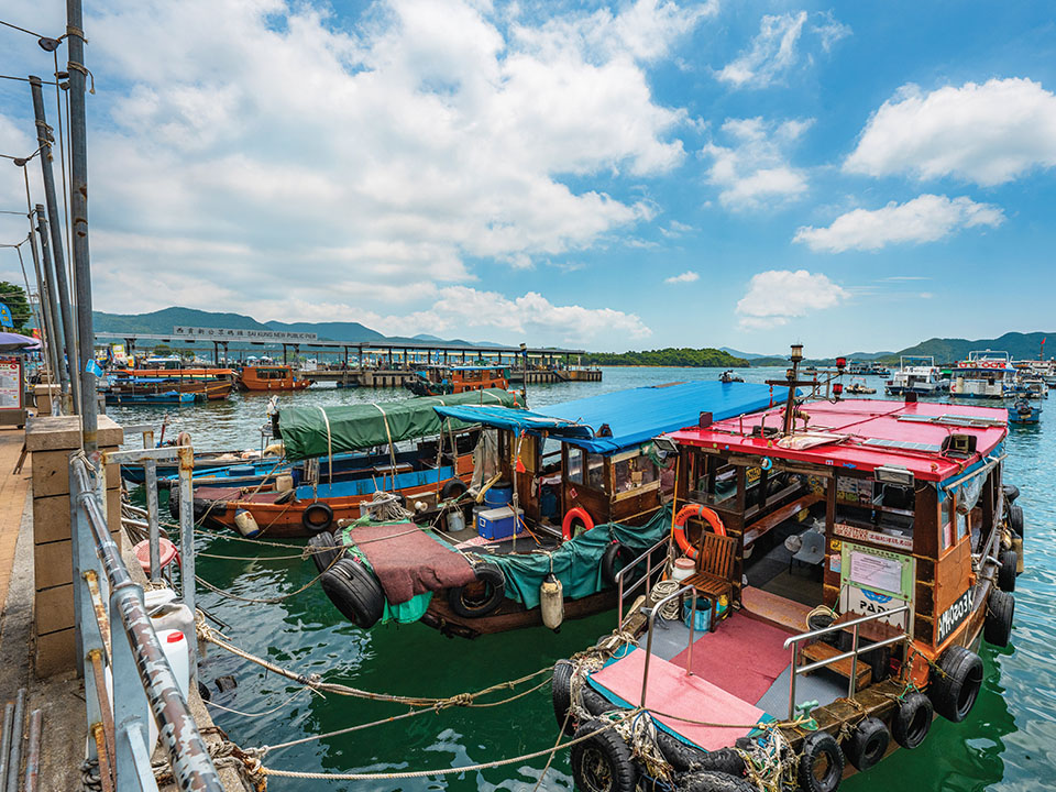
Take any public transport to Sai Kung Town Centre (for instance, bus 92 from MTR Diamond Hill Station or bus 299X from Sha Tin Central Bus Terminus), then walk 180 metres to Sai Kung Public Pier (the longer pier right next to the Sai Kung Promenade) for the kaito ferry to Kau Sai Village. The kaito ferries here operate mainly on Saturdays, Sundays and public holidays. The trip takes about 30 minutes.
Leaving from Kau Sai Fisherman Village:
Take the same kaito ferry back to the Sai Kung Public Pier. The last ferry departs at 5pm.
For details of the kaito ferry service, please visit Transportation Department website.
Visit Hong Kong Geopark Website for more information about Kau Sai Chau
More Routes

Written by South China Morning Post (Morning Studio)
Most people heading to the figure-of-eight-shaped Kau Sai Chau — the largest island off the Sai Kung Peninsula and considered a Hong Kong UNESCO Global Geopark geosite — visit only the top half to play golf at Hong Kong’s sole public golf course. Yet on its southernmost tip, out of sight over gently rolling hills, is a rarely seen fishing hamlet, Kau Sai Fishermen Village — the island’s only settlement, which seems little changed over time. Hire a sampan to this picturesque village, home to barely a dozen families and a historic temple, separated by a narrow strait from Jin Island.

Refuel
The village store and also the last-but-one house as you turn left from Kau Sai Village Pier, sells drinks from an outdoor fridge and offers a selection of ‘fishing village dishes’ chalked up on a blackboard.

Transport
Getting to Kau Sai Fisherman Village:
Take any public transport to Sai Kung Town Centre (for instance, bus 92 from MTR Diamond Hill Station or bus 299X from Sha Tin Central Bus Terminus), then walk 180 metres to Sai Kung Public Pier (the longer pier right next to the Sai Kung Promenade) for the kaito ferry to Kau Sai Village. The kaito ferries here operate mainly on Saturdays, Sundays and public holidays. The trip takes about 30 minutes.
Leaving from Kau Sai Fisherman Village:
Take the same kaito ferry back to the Sai Kung Public Pier. The last ferry departs at 5pm.
For details of the kaito ferry service, please visit Transportation Department website.



 Live Chat


