Hong Kong’s Immigration Department has simplified eligibility and enrollment for the self-service immigration clearance (e-Channel) for qualifying frequent visitors. Visit their website to learn more.

Speak now


I’m Sorry. I didn’t get that.
About Tung Lung Chau
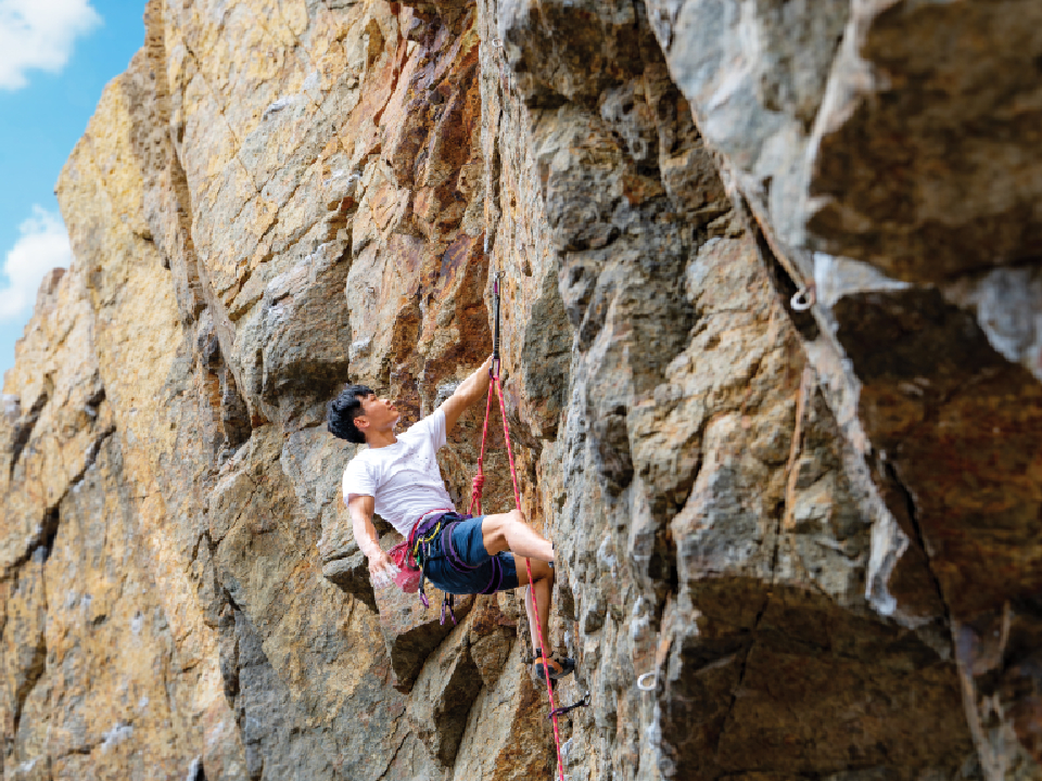
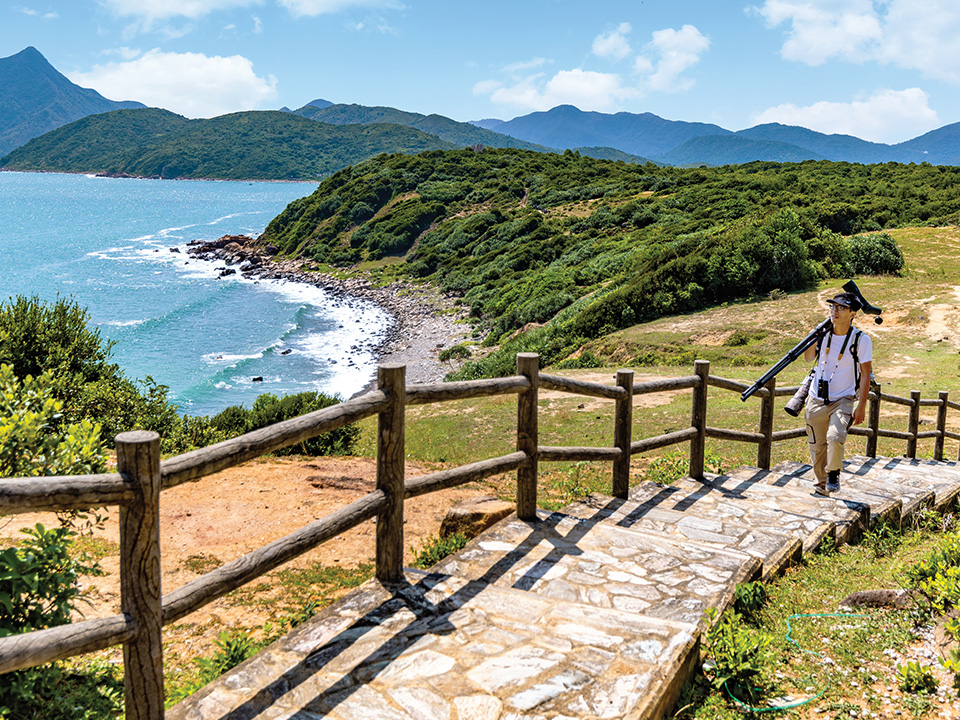
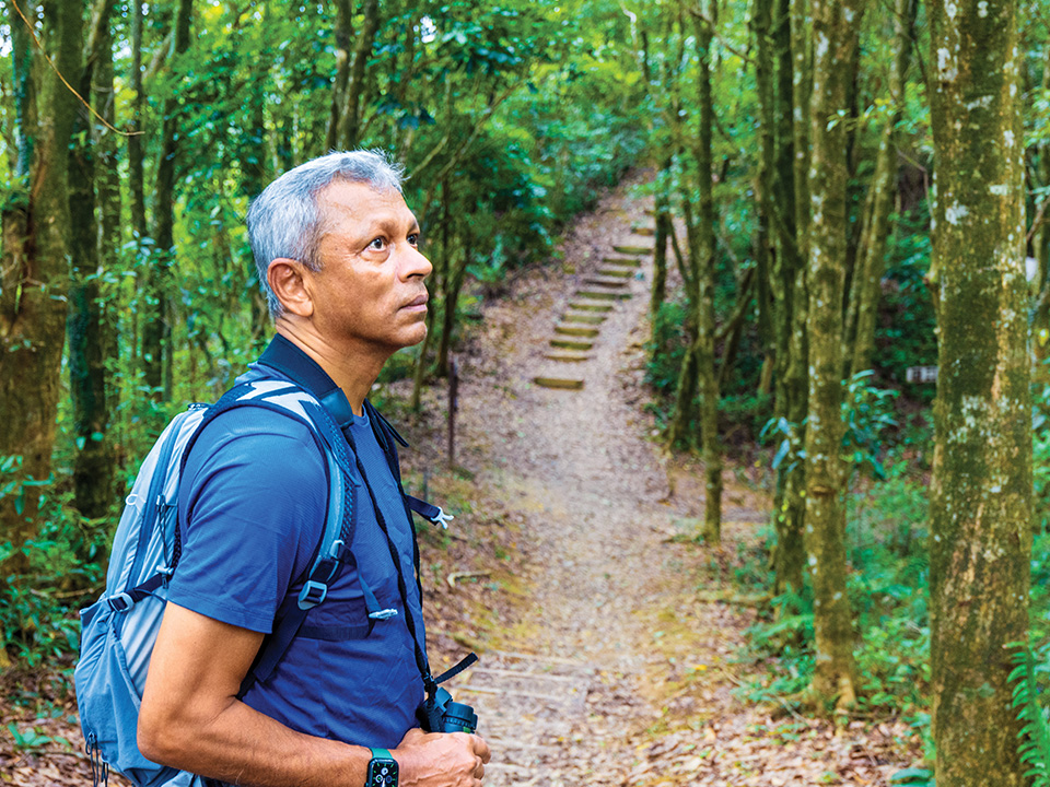
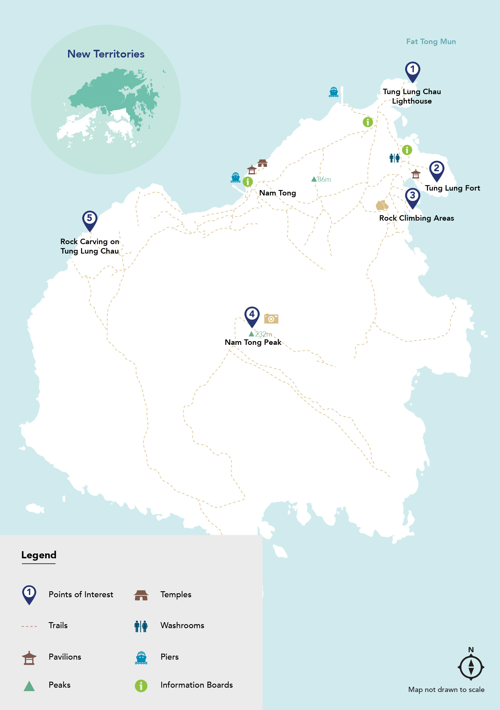
Beyond the city and almost out of sight, the small but mountainous island of Tung Lung Chau guards the eastern entrance to Hong Kong’s Victoria Harbour. Soldiers were garrisoned at a fort on this southernmost island of Sai Kung during the Qing dynasty (1644-1911). Today, it has only a few inhabitants, but you can take a kaito ferry there at weekends to enjoy its unique coastal scenery and sea cliffs, which make it a popular destination for thrill-seeking rock climbers of all abilities. With several climbing sites dotting the shoreline, enthusiasts can enjoy the cooling sea breeze and sound of the waves crashing on the shore as they take on each rock-face challenge. The lush, green isle has a subtropical holiday feel to it: cactuses grow tall, as do papaya trees and canopies of bougainvillea flowers.

Refuel
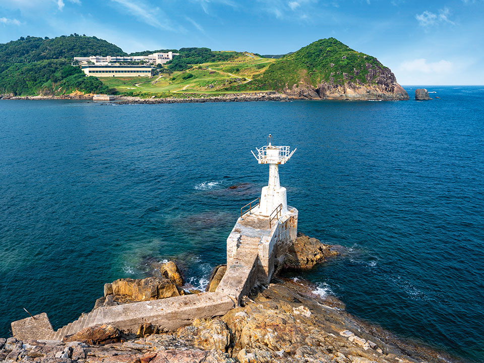
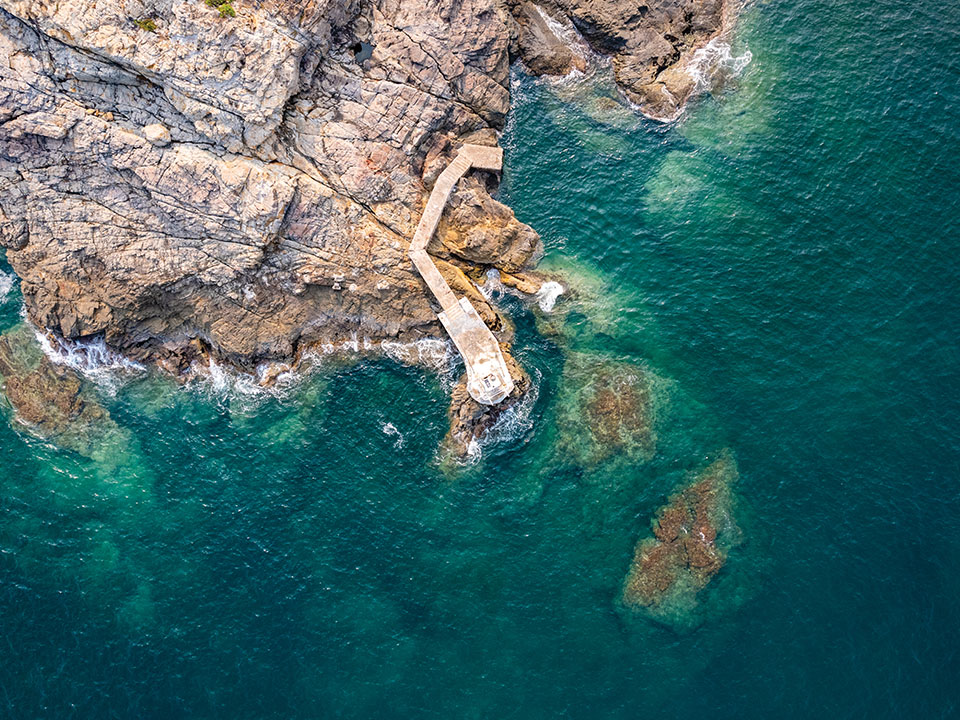
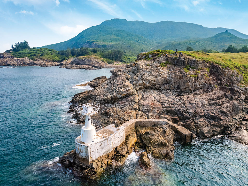
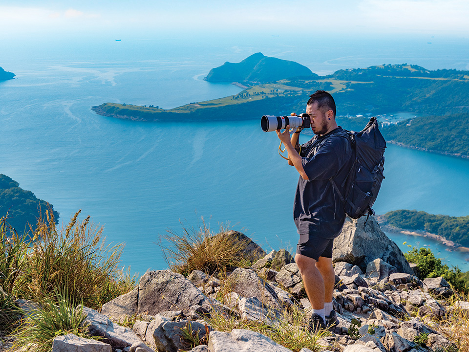
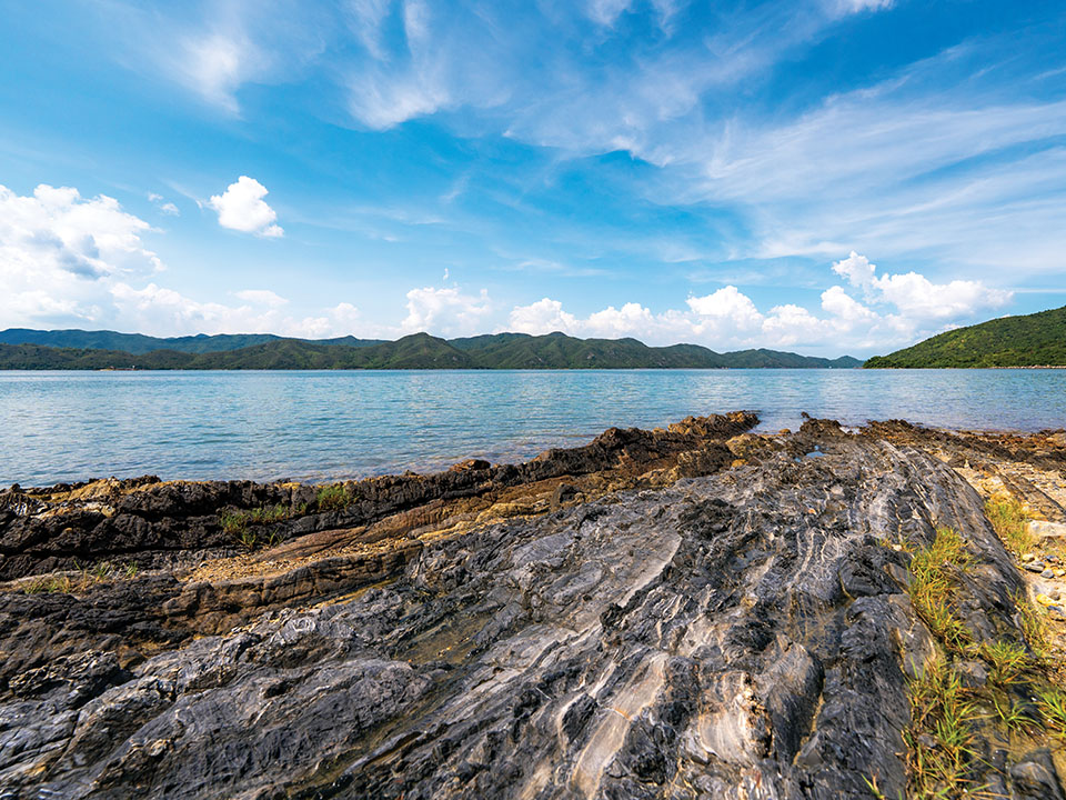
A small lighthouse stands on barnacle-covered rocks on the island’s northeastern corner. You’ve left the sheltered waters of Victoria Harbour behind, and are now looking out to the open horizon of the South China Sea. Ocean waves rise, fall and crash with force onto the rocks. Over the narrow Fat Tong Mun channel, you can see across to the mountainous Clearwater Bay peninsula. To the left isthe historic Tin Hau temple at Joss House Bay. Built around 1266, it’s Hong Kong’s oldest and largest temple dedicated to the protector goddess of the sea.
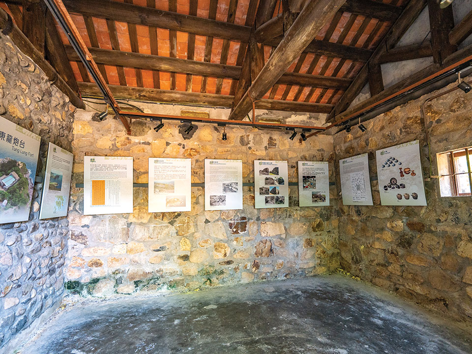
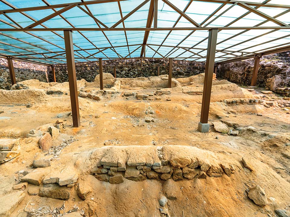
Near the Tung Lung Chau Campsite, on a hill overlooking the east coast, stand the lonely ruins of the rectangular Tung Lung Fort. Armed with eight cannons to combat pirates, it was built sometime between 1662 and 1722, during the reign of Emperor Kangxi in the Qing dynasty. The fort was abandoned in 1810, and had fallen into disrepair for more than a century. Its thick, high walls, however, have withstood the countless typhoons that have battered this exposed coastal position. Visit the information centre to learn more about some of the Qing-dynasty relics found here during the archaeological renovation work.
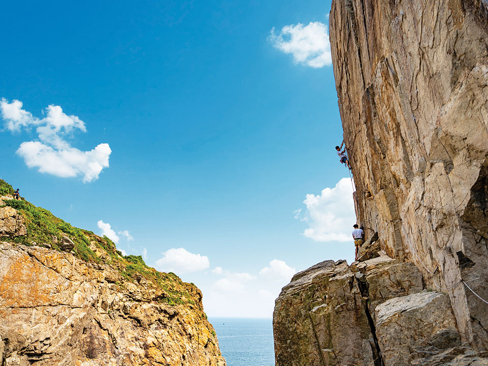
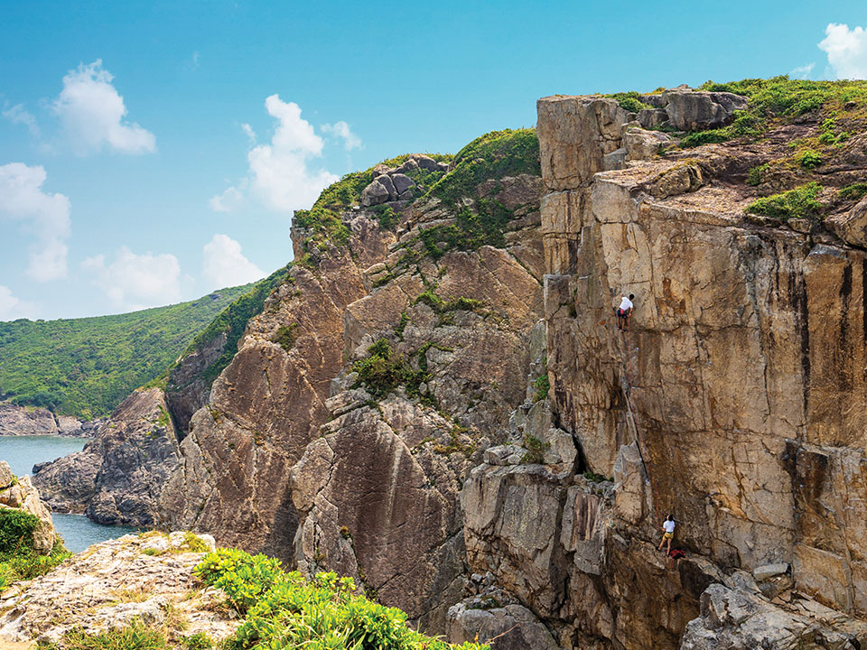
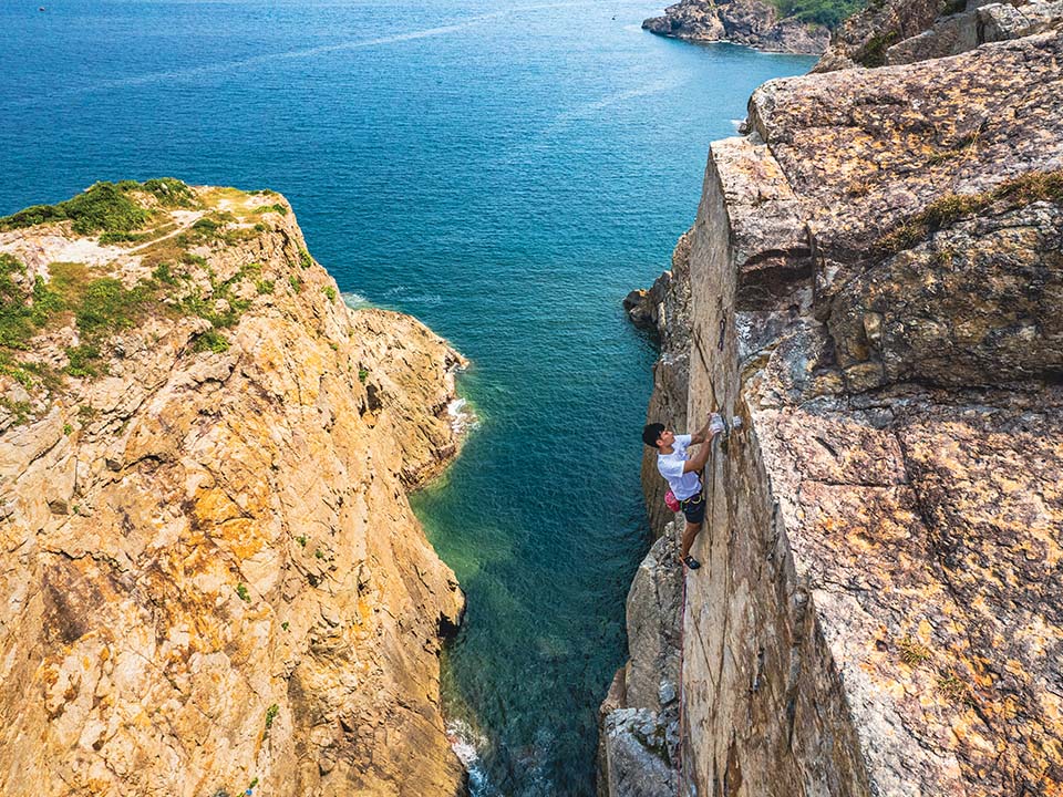
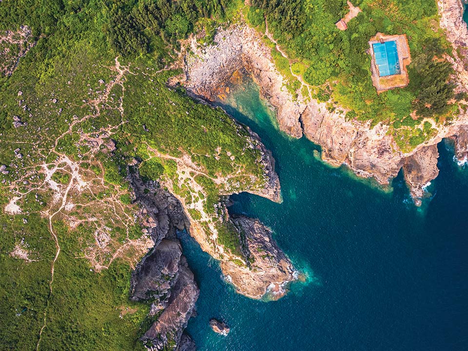
Tung Lung Chau is Hong Kong’s most popular location for rock climbing, with three main areas on its northeast shore. Even if you don’t climb, you can enjoy the spectacle of helmeted mountaineers making their way up the cliffs with the help of ropes and encouraging teammates from the flat rock ledges below. Many climbing routes of varying difficulty have been mapped up these solid rock faces.
The busiest spot, ‘Technical Wall’, is located on the cliffs below Tung Lung Fort. To its south, the rock face known as ‘Sea Gully’ hangs above a narrow inlet of the ocean. Finally, ‘Big Wall’ is a vertical cliff rising above a sea cave, with roaring waves below adding to the adrenaline factor. There are also other cliff faces to climb at Tathong Point on the southern tip of the island.
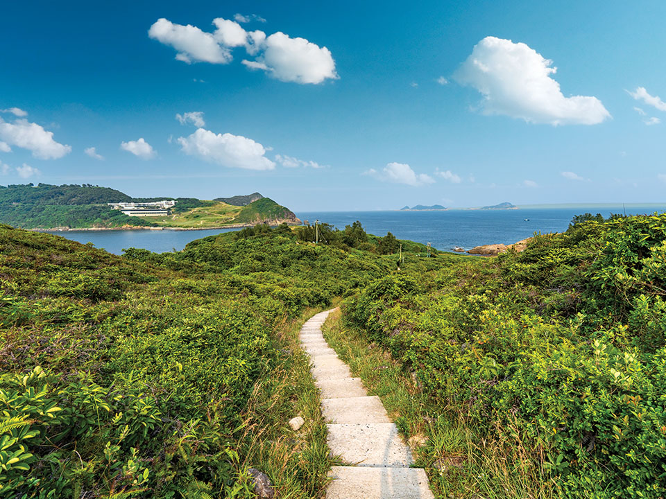
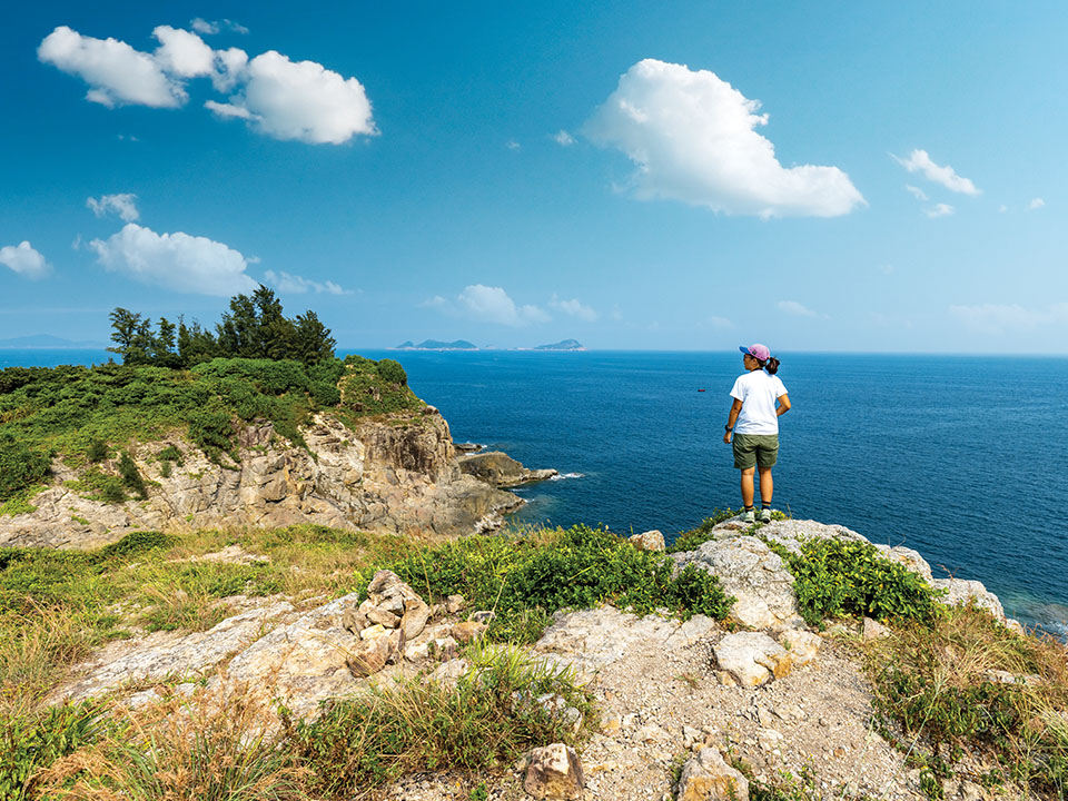
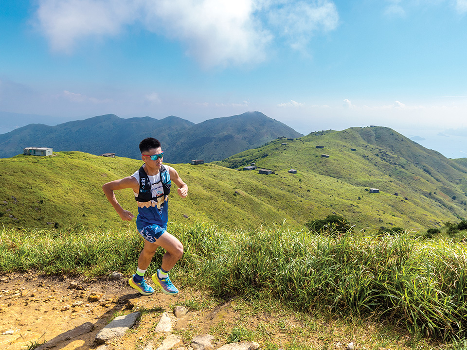
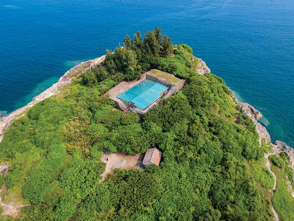
There’s a coastal path around the edges of the roughly circular island, and if you walk westward from either pier, you’ll find yourself on a paved track that leads up to Nam Tong Peak. At 232 metres, this is the highest point on Tung Lung Chau. From up here — and at vantage points on your way up — you can enjoy sweeping views of the sea cliffs and islands all around. To the south, there’s Cape D’Aguilar, the rugged southeastern extremity of Hong Kong Island, with a 20-hectare marine park located within its surrounding waters. Further out to sea, there’s the steep-sided Waglan Island with its isolated lighthouse. The path continues downhill to Tung Lung Fort along a steeper, more overgrown final section of the loop.
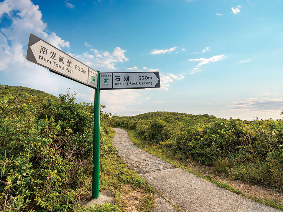
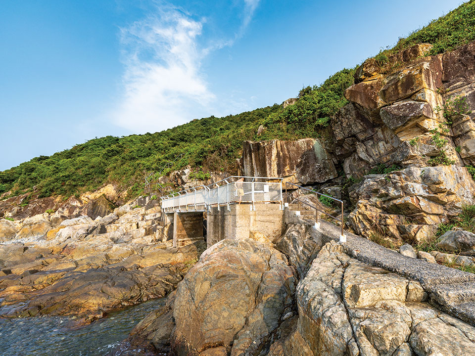
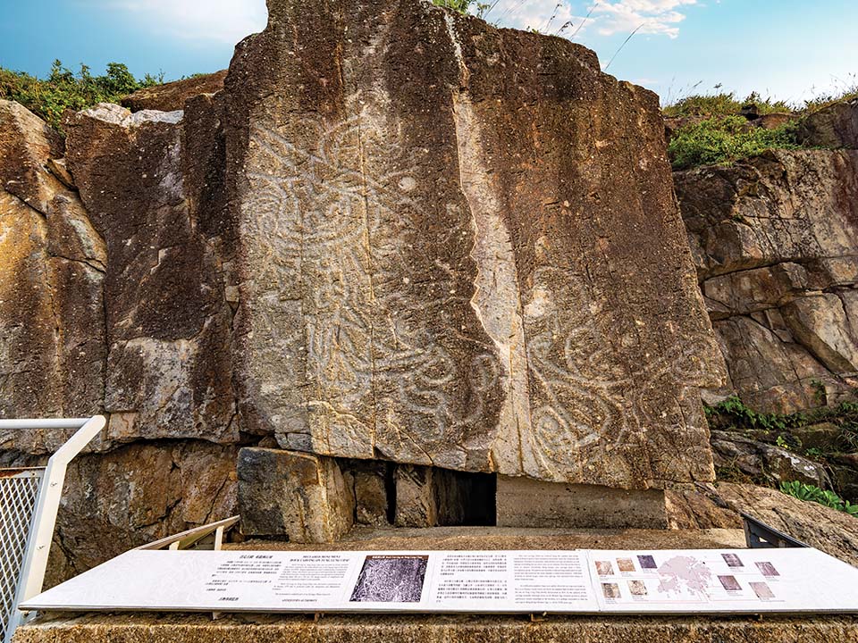
Arrows painted on the path beside the public pier lead you up to a hillside lookout, which is only a short walk to the south. From here, a long flight of steps descend to the water’s edge, where you can see Hong Kong’s largest — and probably oldest — prehistoric rock carving. The mysterious swirling patterns are thought to represent a dragon. Perhaps that’s where the name Tung Lung (which means ‘eastern dragon’) comes from?
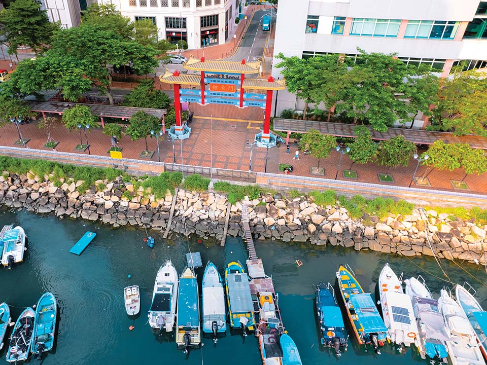
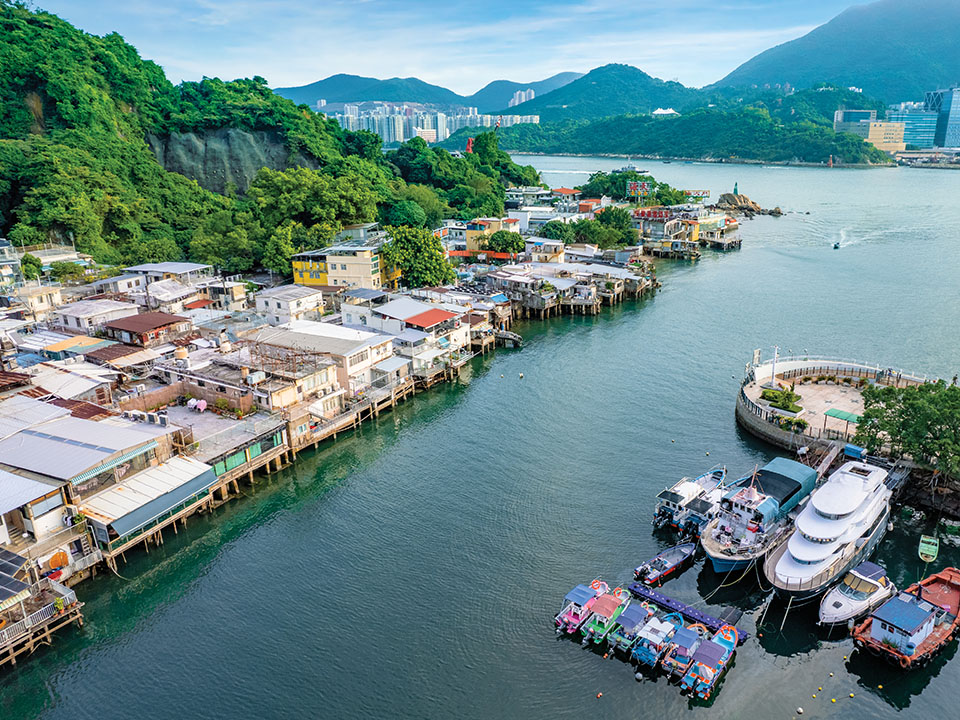
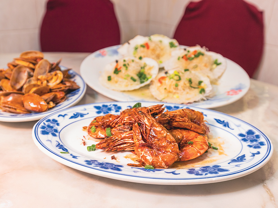
Located on the Kowloon waterfront in the Lei Yue Mun district, the village of Sam Ka Tsuen is well known for its stilt houses and seafood. Simply walk from Sam Ka Tsuen Ferry Pier to the other side of the typhoon shelter to find the restaurants along the village’s main street.
A small lighthouse stands on barnacle-covered rocks on the island’s northeastern corner. You’ve left the sheltered waters of Victoria Harbour behind, and are now looking out to the open horizon of the South China Sea. Ocean waves rise, fall and crash with force onto the rocks. Over the narrow Fat Tong Mun channel, you can see across to the mountainous Clearwater Bay peninsula. To the left isthe historic Tin Hau temple at Joss House Bay. Built around 1266, it’s Hong Kong’s oldest and largest temple dedicated to the protector goddess of the sea.
Near the Tung Lung Chau Campsite, on a hill overlooking the east coast, stand the lonely ruins of the rectangular Tung Lung Fort. Armed with eight cannons to combat pirates, it was built sometime between 1662 and 1722, during the reign of Emperor Kangxi in the Qing dynasty. The fort was abandoned in 1810, and had fallen into disrepair for more than a century. Its thick, high walls, however, have withstood the countless typhoons that have battered this exposed coastal position. Visit the information centre to learn more about some of the Qing-dynasty relics found here during the archaeological renovation work.
Tung Lung Chau is Hong Kong’s most popular location for rock climbing, with three main areas on its northeast shore. Even if you don’t climb, you can enjoy the spectacle of helmeted mountaineers making their way up the cliffs with the help of ropes and encouraging teammates from the flat rock ledges below. Many climbing routes of varying difficulty have been mapped up these solid rock faces.
The busiest spot, ‘Technical Wall’, is located on the cliffs below Tung Lung Fort. To its south, the rock face known as ‘Sea Gully’ hangs above a narrow inlet of the ocean. Finally, ‘Big Wall’ is a vertical cliff rising above a sea cave, with roaring waves below adding to the adrenaline factor. There are also other cliff faces to climb at Tathong Point on the southern tip of the island.
There’s a coastal path around the edges of the roughly circular island, and if you walk westward from either pier, you’ll find yourself on a paved track that leads up to Nam Tong Peak. At 232 metres, this is the highest point on Tung Lung Chau. From up here — and at vantage points on your way up — you can enjoy sweeping views of the sea cliffs and islands all around. To the south, there’s Cape D’Aguilar, the rugged southeastern extremity of Hong Kong Island, with a 20-hectare marine park located within its surrounding waters. Further out to sea, there’s the steep-sided Waglan Island with its isolated lighthouse. The path continues downhill to Tung Lung Fort along a steeper, more overgrown final section of the loop.
Arrows painted on the path beside the public pier lead you up to a hillside lookout, which is only a short walk to the south. From here, a long flight of steps descend to the water’s edge, where you can see Hong Kong’s largest — and probably oldest — prehistoric rock carving. The mysterious swirling patterns are thought to represent a dragon. Perhaps that’s where the name Tung Lung (which means ‘eastern dragon’) comes from?
Transport
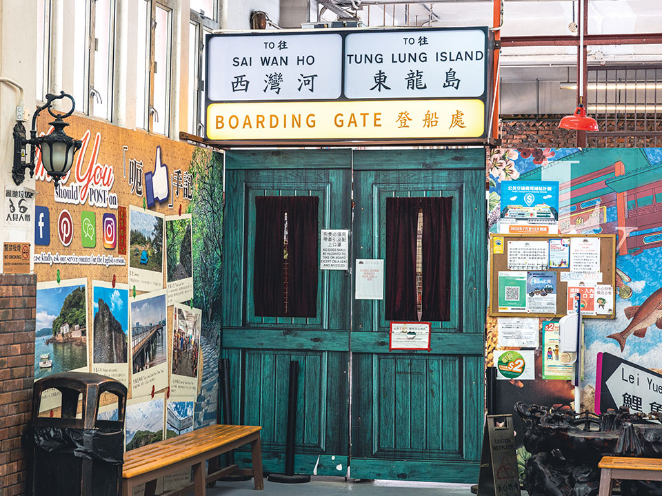
Getting to Tung Lung Chau
Leaving from Tung Lung Chau
From MTR Yau Tong Station, walk for 15 minutes to the Sam Ka Tsuen Ferry Pier. The first ferry departs at 8:20am. From MTR Sai Wan Ho Station, walk for 10 minutes to the Shau Kei Wan Typhoon Shelter Landing No. 10. The first boat leaves at 9am.
Getting to Tung Lung Chau
From MTR Yau Tong Station, walk for 15 minutes to the Sam Ka Tsuen Ferry Pier. The first ferry departs at 8:20am. From MTR Sai Wan Ho Station, walk for 10 minutes to the Shau Kei Wan Typhoon Shelter Landing No. 10. The first boat leaves at 9am.